
The Government Office for Technology Transfer has pledged additional funding for the British Geological Survey (BGS) to continue and expand its pioneering Common Ground project.
This initiative aims to develop a national geotechnical properties data service, maximising the return on Ground Investigation (GI) investment and reducing risk, increasing efficiency and unlocking the value of GI data for the UK construction sector.
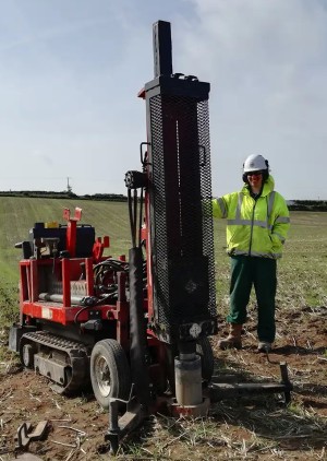
GI work is routinely carried out to assess ground conditions and identify ground hazards prior to the construction of new buildings and infrastructure projects. The UK construction sector invests approximately £1.2 billion per year in GI, yet unforeseen ground conditions still cause significant delays and overspend, estimated at 10 per cent of project costs or £120 million per year.

Following the success of the project’s first phase, the new funding will enable BGS to build on pilot geotechnical data tools that were developed for Glasgow to deliver a national-scale geotechnical data service that combines geotechnical data with geological knowledge.
Alison Steven, data operations and governance manager at BGS, said: “As BGS moves forward with this exciting phase, we remain committed to delivering solutions that maximise the return on investment in GI data, reduce carbon emissions and support a more resilient and efficient construction industry.

“Ensuring that users remain at the heart of product development, our partners, Difference Engine, will be conducting further market research and will develop a strategy to help BGS provide an authoritative data service with the functionality that suits the end user.”
The knowledge asset underpinning this project, the BGS National Geotechnical Properties Database (NGPD), contains data from approximately 200,000 boreholes, consolidated, validated and verified by BGS experts.

Be the first to comment